Similar to last year, we created a map of the world on our shared bulletin board. (Although this year I learned that I could use my SMART board projector to trace on to paper, making the continents much more to scale). The kiddos labeled important geographical features, including oceans and mountain ranges. Our sweet Art Teacher worked with each class to create 3D landmarks and topographies.
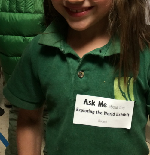
On the night of the exhibit, the kiddos got their "docent tags." They loved hosting their friends and families around the exhibit, pointing out their details on the map and their book club posters. We managed to pull in a number of standards and skills with this project and it was obvious with all of the connections that the kiddos made as they talked about what they'd learned!


No comments:
Post a Comment